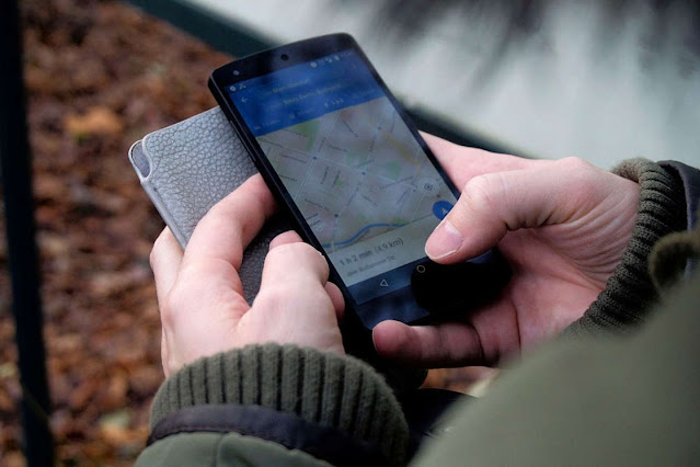
Google temporarily suspended the live traffic and location data services provided by google maps in Ukraine to protect users as Russia invaded Ukraine.
The features use location data collected from android smartphones to show where traffic is at, whether on roads, companies or busy stores.
Google said that the decision to disable this feature was taken to protect the safety of users after consultation with the Ukrainian authorities and the features have been disabled from global access, but google says that traffic intensity information will remain available to drivers who use mobility features before and it is not clear whether google disabled these features at any time during previous conflicts or wars.
Location data collected by map services sometimes provides misleading information. For example, when fitness tracking app Strava released a map in 2017 of user activity it mistakenly revealed the location of several U.S. military bases where soldiers running around airports showed up.
Similarly, Snapchat's geolocation features have been used to collect photos and videos from the front line of the Iraq war. Information shared in war zones through social media has become a vital tool for investigators, journalists and others.
Typically, this data must be combined with other sources to provide reliable information, and in the case of traffic jams monitored outside Ukraine last Thursday, investigators were already examining the area using satellite images.

